


Reclaiming the North End Erosion Pit |
|
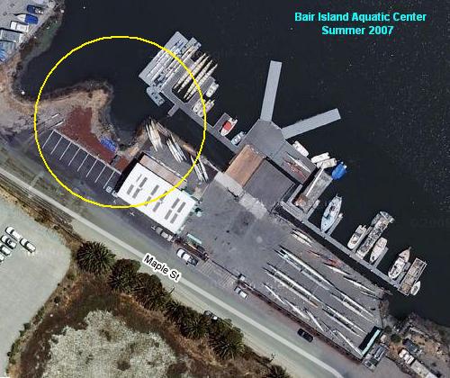
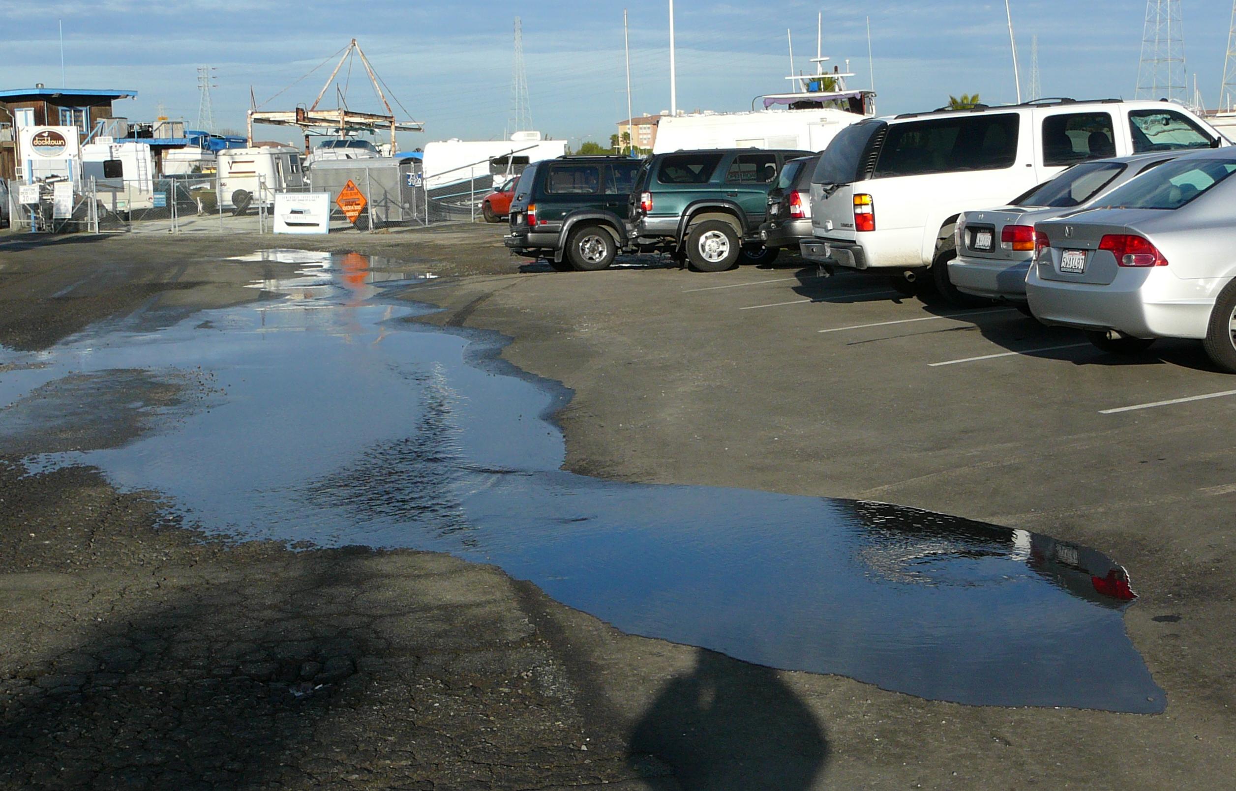
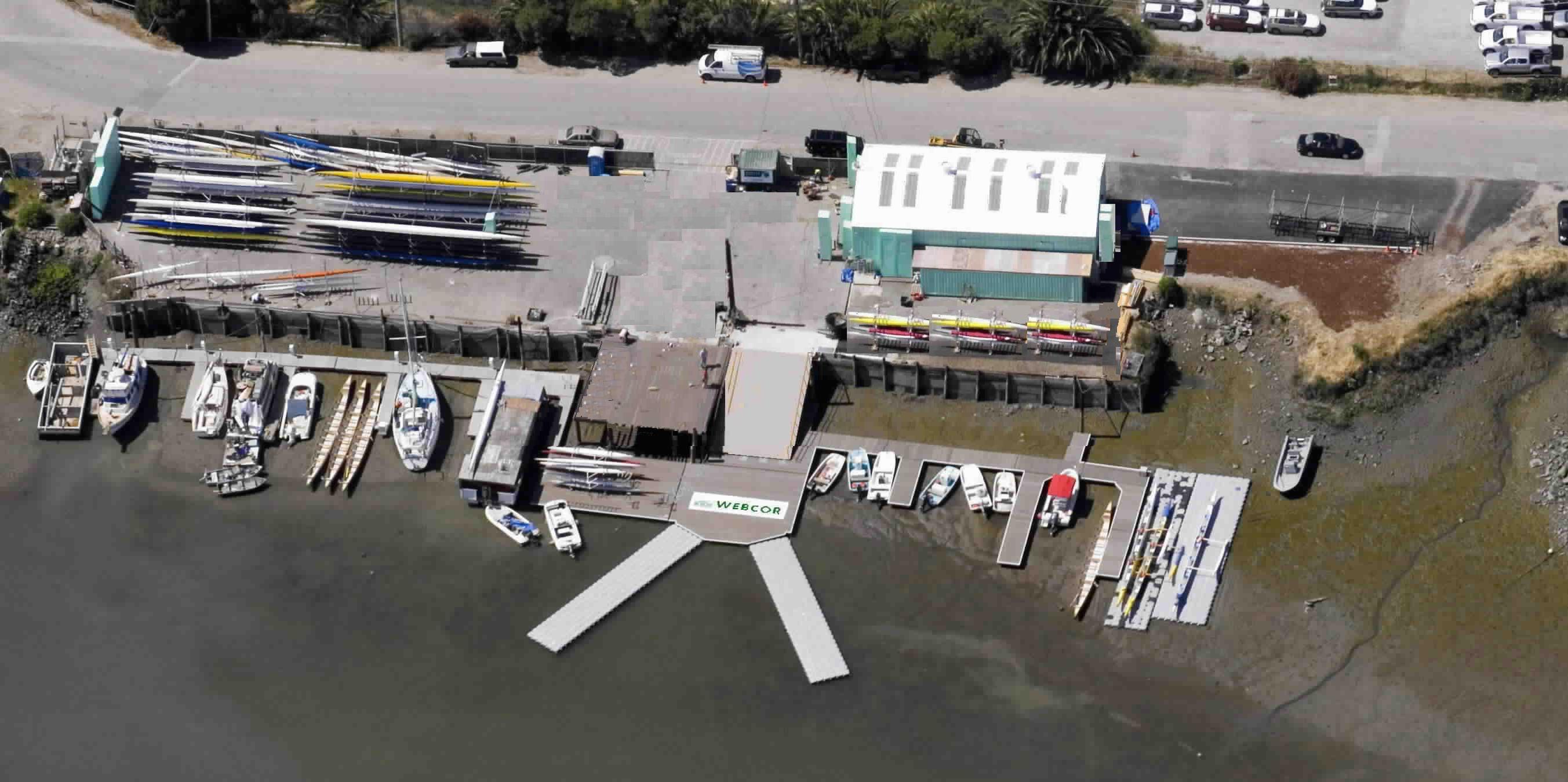
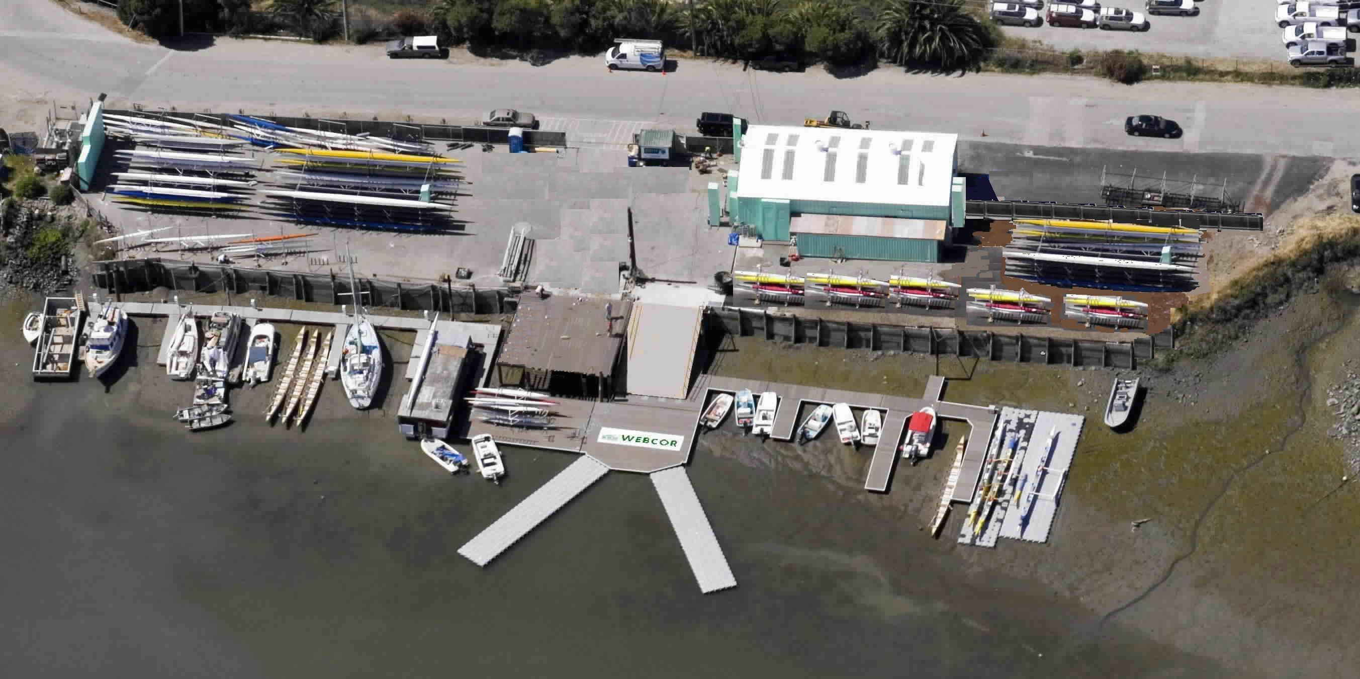
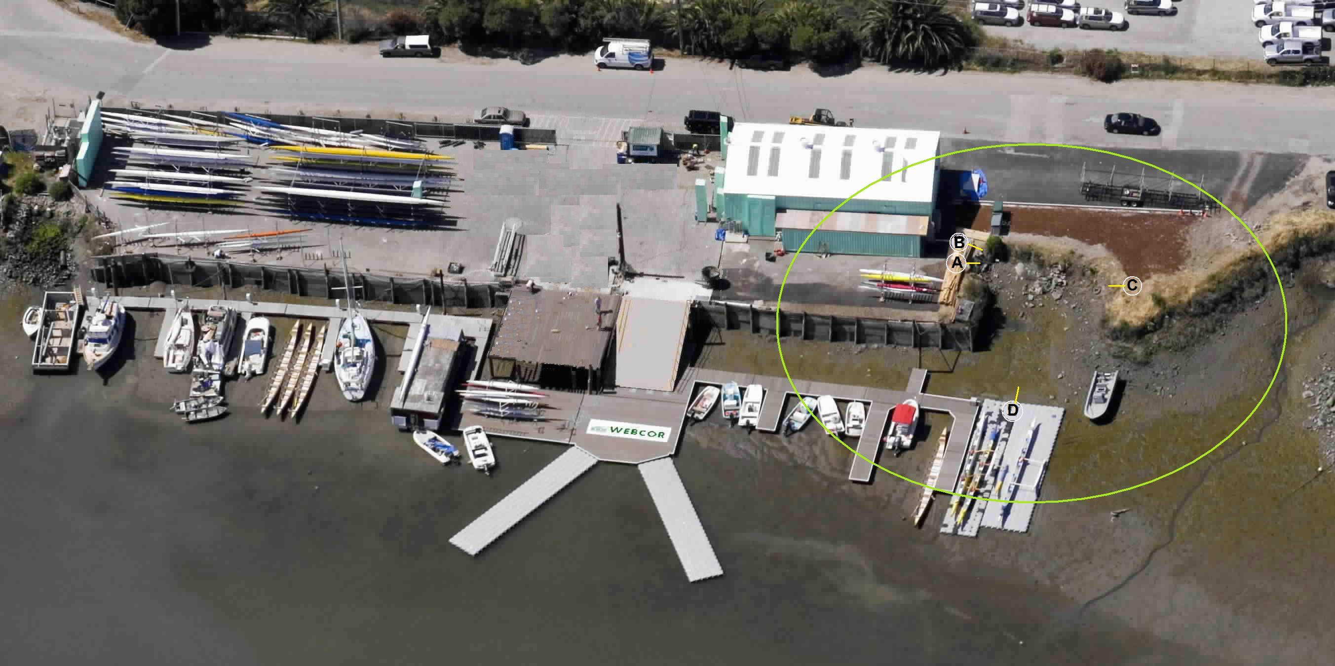
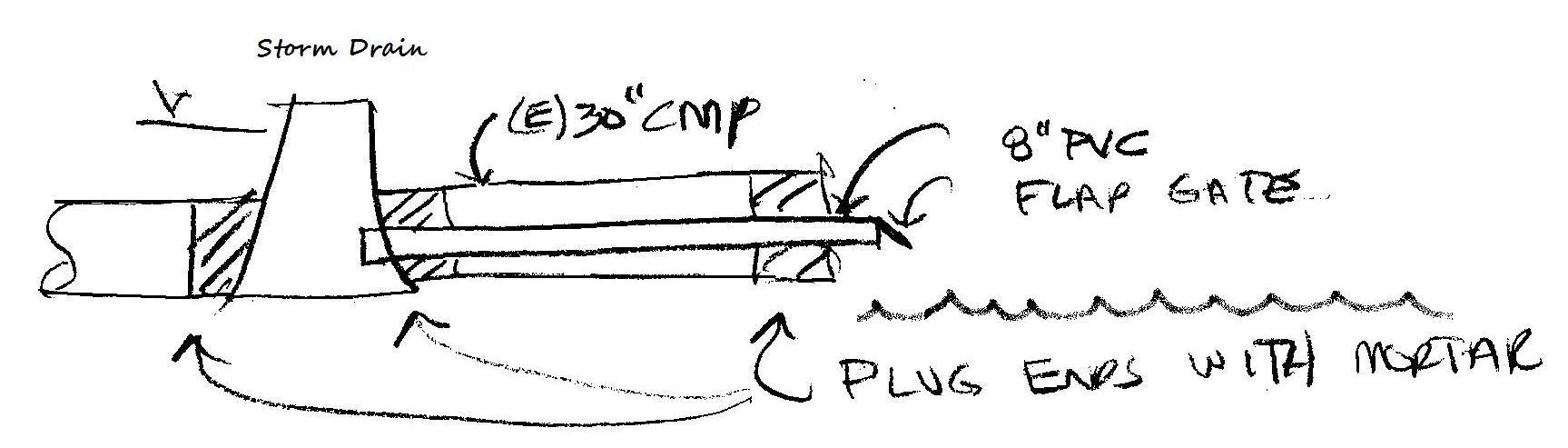
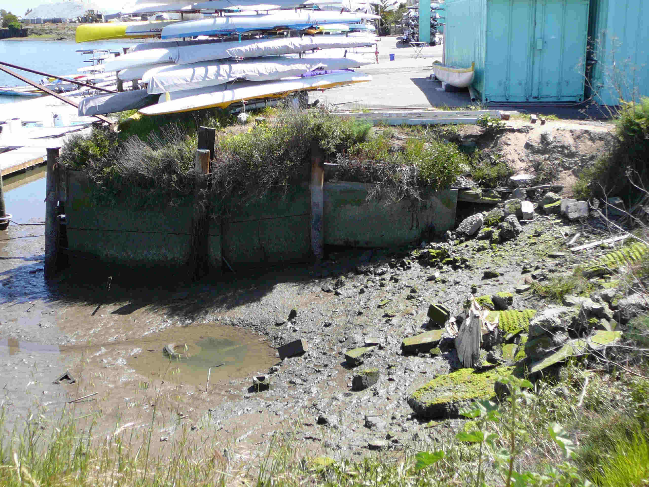
BIAC has on its north-west end a pit created by erosion of the land due to years of tidal action and outflow from two (now abandoned) Redwood City service pipes. The total sq ft that could be reclaimed is less than 1500 sq ft, requiring less than 500 cu yd of fill.
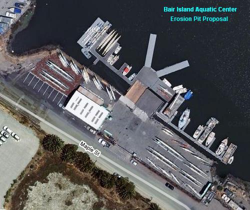
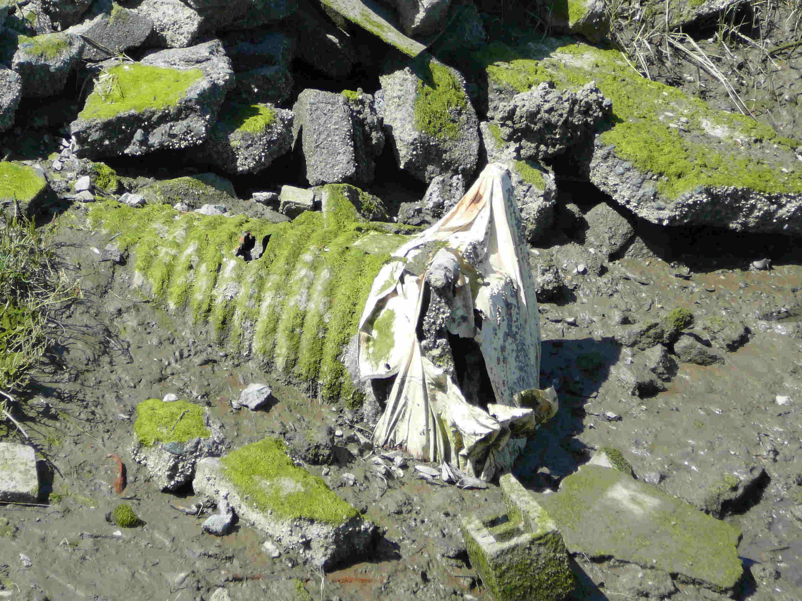
BIAC seeks to reclaim former land by filling in the erosion pit with materials approved by the Army Core of Engineers such as riff raff and soil. Redwood City Engineering approves of our idea as it will be a part of solving a high tide storm drain backflow problem on Maple St. The property at 1450 Maple might look like this: BIAC would use this reclaimed land for the storage of kayaks, canoes, and rowing shells. It is hoped that our landlord, Cemex, will not only approve of this improvement but also donate the materials. From another angle (plane vs satellite) the current property could look like this. For an close up photo tour of the current erosion pit, you can see these photos;
|
|
© Bair Island Aquatic Center 2008- "Info at GoBair dot org" |
|